Media Kit
Media Inquiries:
Julie Walsh, BikePGH Communications & Marketing Manager, walsh.julie@bikepgh.org
Follow OpenStreetsPGH on Facebook, Twitter, Instagram for updates.
The event is organized by Bike Pittsburgh.
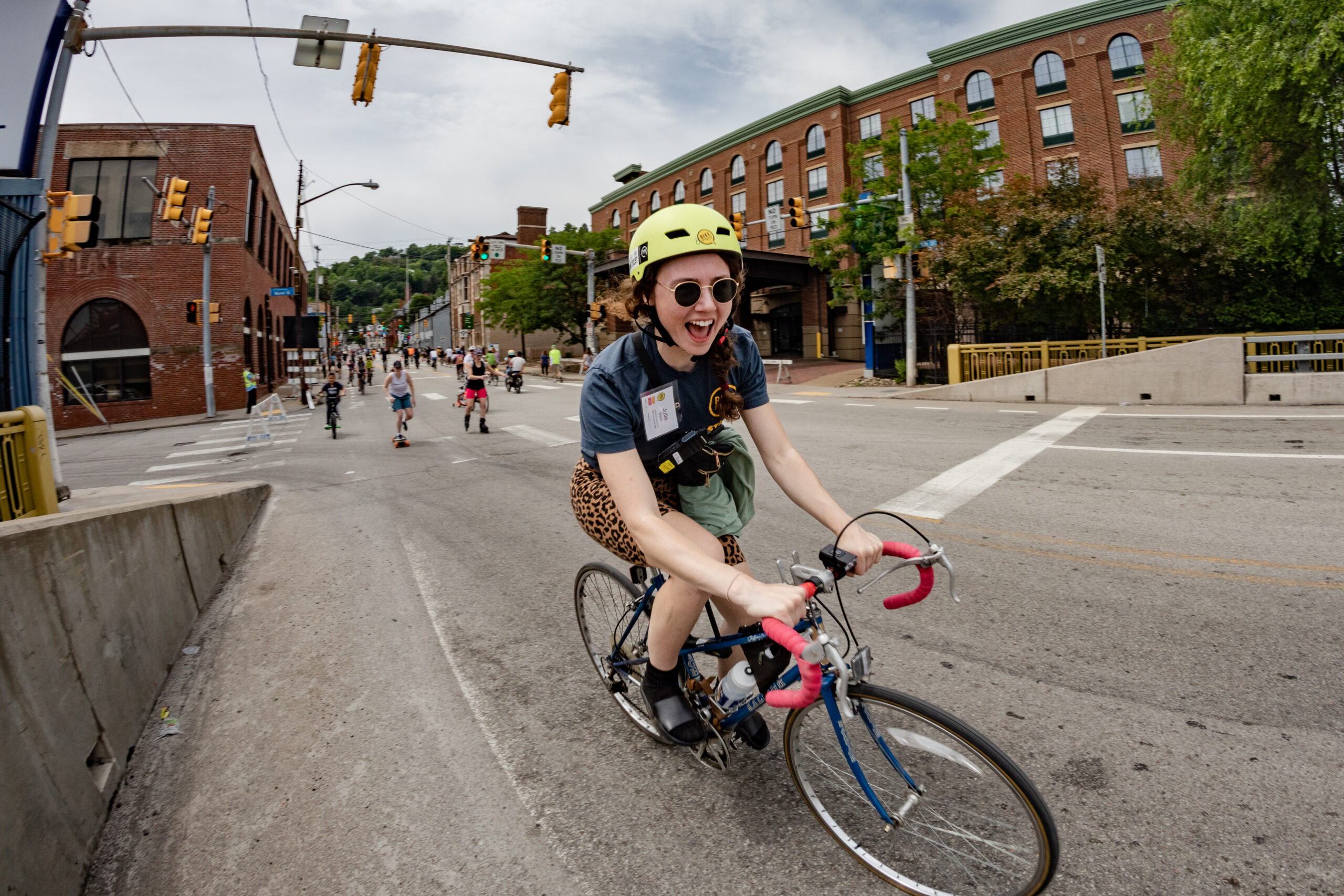
OpenStreetsPGH temporarily closes roads to car traffic, and invites Pittsburghers to reimagine our streets as places for people. Walk, run, bike, skate, roll, dance, and enjoy the road at your own pace! Participants can jump into a free fitness class at our wellness hub, learn how to ride, drift or tackle a jumps course at our kids hub, enjoy food from local vendors, and play in the streets with activities hosted by local organizations.
View a full OpenStreetsPGH route map at openstreetspgh.org/route
⚠️⚠️⚠️⚠️⚠️⚠️⚠️⚠️⚠️⚠️⚠️⚠️⚠️⚠️⚠️⚠️⚠️⚠️⚠️⚠️⚠️⚠️⚠️⚠️
Beginning at 3:00 a.m. on event day, all cars (including those parked on the street) will be prohibited on the event route.
View the full OpenStreetsPGH route map at openstreetspgh.org/route
PARKING RESTRICTIONS
There is no parking allowed along the event route and select side streets from 3am – 3pm on event days. All parked cars left on designated streets in this timeframe will be towed in order to provide a safe and car-free area for event participants. “No Parking” signs will be placed along the route starting the Wednesday before the event.
TRAFFIC CROSSINGS
This is a car-free event, but vehicle drivers can still get around via designated intersections managed by safety officers. Traffic crossing are marked on the route map.
Roadways will reopen promptly by 3:00 p.m.
BUS DETOURS
Some bus lines on the route will be affected. You can use PRT’s online schedule finder tool, or download the new Transit App to help plan your journey.
Stay updated on Pittsburgh Regional Transit’s detours at www.rideprt.org/detours
ABOUT US
Media and the public are encouraged to visit openstreetspgh.org/media, or follow OpenStreetsPGH onFacebook, Twitter, andInstagram, for updates and details on event happenings. For more information on how to get to OpenStreetsPGH, visitopenstreetspgh.org/getting-here.