How to get to OpenStreetsPGH
Foot/Bike
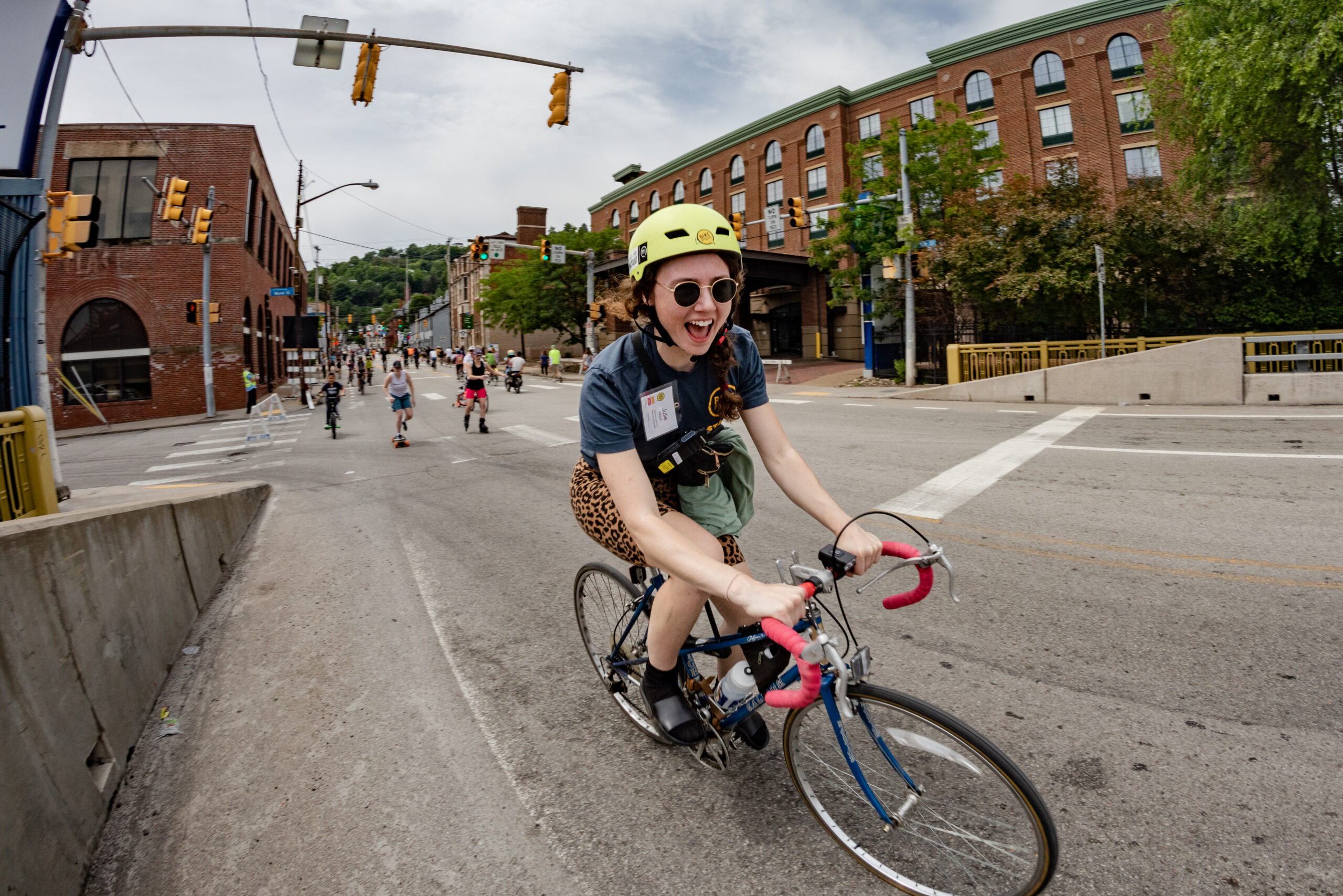
If you’re in the surrounding neighborhoods, we encourage you to walk or ride to any portion of the route! There is no official start or end to the route,
Transit
Hop on public transit and make it an adventure. You can use PRT’s online schedule finder tool, or download the new Transit App to help plan your journey.
Stay updated on Pittsburgh Regional Transit’s detours at https://www.rideprt.org/Detours/
Driving
While the OpenStreetsPGH route is closed to car traffic, there is street parking available near the route. There is no parking allowed along the route and select side streets before and during the event. We will begin towing cars parked on the route starting at 6 AM on the day of the event to ensure that the course is clear and safe for the event.
PARKING RESTRICTIONS
There is no parking allowed along the event route and select side streets from 3AM – 3PM. All parked cars will be towed. “No Parking” signs will be placed along the route starting on Wednesday before the event.
Beginning at 3:00 a.m. all cars (including those parked on the street) will be prohibited on the route.
View the full OpenStreetsPGH route map at openstreetspgh.org/route
TRAFFIC CROSSINGS
Unlike other events, OpenStreetsPGH does not necessitate a complete street closure. Car drivers may cross the route for business and residential access via multiple marked intersections:
Smallman St & 21st St
Smallman St & 30th St
Smallman St & 33rd St
Butler St/34th St/Penn
Butler St & 37th St
Butler St & 39th St
Butler St & 40th St
Butler St & 44th St
Butler St & Stanton Ave
Roadways will reopen promptly by 3:00 p.m.